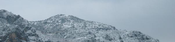
GPS coordinates : N43°45'56.4''-E007°26'33''
Altitude of Mont Gros : 686 m. above sea level
Flying activities : paragliding, handgliding
Orientations : SW, S, SE, E, NE
Warning : take-off on North-East spot requires skilled technique
Landing beach of Cabbe
Click on the photo to zoom in

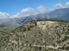
GPS coordinates : N43°45'32''-E007°27'15''
Altitude : 0m
Flying activities : paragliding, handgliding
Orientations :
West, East
Warning : the beach may be crowded during weekends in spring and autumn seasons
Click on the photo to zoom in


E-mail address :
Paragliding Club registered at the French Federation of Free Flying under
number 01104 - © copyright: Roquebrun'Ailes 2003-2024.
Réalisation